
A mystery unsolved
There are hundreds of thousands. Maybe a million or more. They are scattered along the southeastern coastal plain. In some areas, they are so dense that almost all the ground is covered by them. Some even overlap others. They are one of the most mysterious land forms on the face of the Earth, and their name comes from our own region. They are known as Carolina bays.
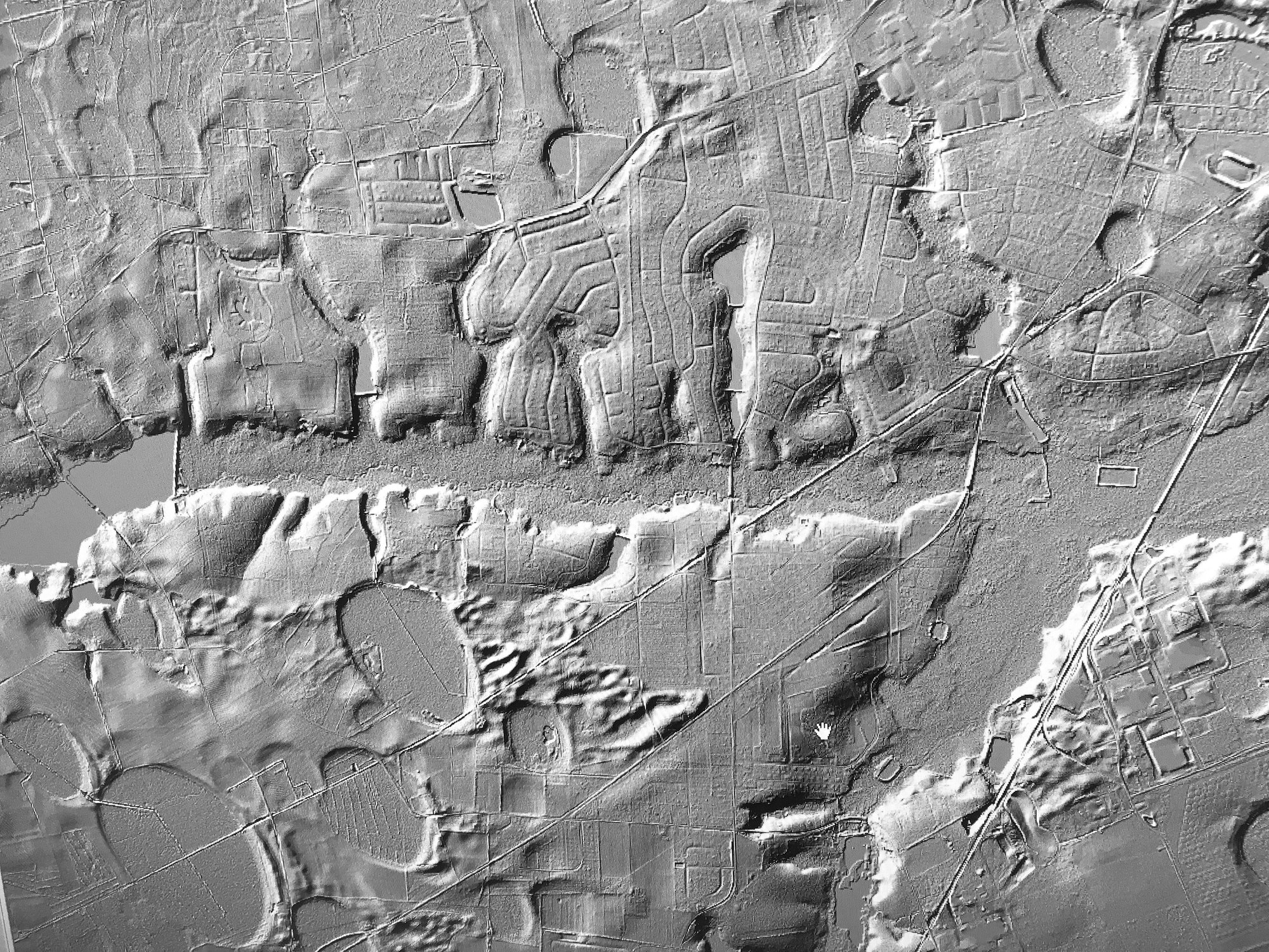
Carolina bays are shallow, elliptical depressions that occur in sandy soils along the Atlantic coast. They range in size from less than an acre to thousands of acres. They all have a northwest/southeast alignment. The northwest ends tend to be more rounded, and the southeast ends are more pointed. Many of the bays have raised,white sandy rims along the southeastern side. Most have wet and dry cycles. A few have springs and are the headwaters of streams or rivers.
Carolina bays are found on high ground and do not occur in modern river flood plains or in tributary stream networks. The seasonal water that they hold is "perched" above the natural groundwater table. They are also known as woodland ponds and "pocosins," which is an old Indian word for "pond on a hill." They are sometimes called savannahs or cypress ponds. The bays are equally preserved on land terraces of different ages and appear to have been formed from 12,000 to 140,000 years ago. It is not known how they were formed. There are many theories.
It was thought that comets or meteorites striking the earth caused them, but that theory has been disproved, due to a lack of evidence. Some think gases escaping from below the Earth's surface may have caused their formation, but that theory is unproved. The most recent theory is that wind and wave action may have formed them, but I think wave action would have varied greatly on ponds of different sizes. Their formation remains a mystery.
Many Carolina bays have been degraded by man. They have been ditched, drained, filled and cleared for farming. Fire suppression has changed their character. But some are still wild places. Some have been preserved, and some are being restored. They are worth saving. Their unique ecosystems support wonders such as pitcher plants, Venus fly traps and a multitude of wildlife species.
Woods Bay State Natural Area near Olanta features a 1,500-acre natural wetland bay. There are kiosks that display information and maps of the area. A boardwalk, canoe trail and a walking trail give good access to the site. Big Bay near Pinewood is contained in the Poinsett Gunnery Range and is not open to the public. It is a 1,500-acre bay that cycles wet and dry. It has a peat bottom, and a fire several years ago that started from ammunition burned for weeks. These are the largest bays in Sumter County.
My own property in Clarendon County is dominated by a Carolina bay. It had been ditched years ago. When I acquired the property, it was overgrown in maple, gum and pine timber. Only a small portion of the bay supported a cypress/sawgrass community that is common in wetland bays. I've installed flash board risers that are drainage structures to hold winter rainwater. Young cypress trees are sprouting, and the sawgrass areas are expanding. It is slowly returning to its natural state.
The Sumter area is covered in Carolina bays. Our roads cross them, and our neighborhoods surround them. Many have been drained and filled. The flood in 2015 filled many of the bays, and wet years since have killed the pines that had invaded them. Those piney graveyards are visible from some of our roadways. Cains Mill Road runs through the edge of a rather large Carolina bay. Ponded water killed the pine timber in the center of the bay and for a time flooded the road. A very pronounced sand rim is visible east of the road. There are others hidden in plain sight. Mysterious to us.
We do not know what processes formed them, perhaps a higher power, but we can be thankful that they are here.
Reach Dan Geddings at cdgeddings@gmail.com.