
Ian might be 1st hurricane to make landfall in state since Matthew 6 years ago; Sumter, Lee, Clarendon prep for strong winds and heavy rain


Editor's note: This article and all of The Sumter Item's hurricane coverage is free as a public service. We believe having access to reliable, accurate and up-to-date local information before, during and after inclement weather is critical to the vitality and safety of the communities we serve and that money should not be a barrier to that access. We do, however, rely on paying subscribers to support our independently, family owned business. If you value the local news you're reading and are not a subscriber, please consider becoming one today at http://theitem.com/subscribe.
Tropical Storm Ian continued to make its way north to South Carolina overnight Thursday and was expected to intensify to hurricane status. During a 4 p.m. briefing Thursday, held by S.C. Gov. Henry McMaster, the National Weather Service announced that Tropical Storm Ian's forecast trends expect Ian to "intensify back to a hurricane."
National Weather Service COO John Murphy said the forecast has raised more concern, and Ian may be the first hurricane to make landfall since Hurricane Matthew in 2016.
McMaster didn't issue any state order to close offices and business or issue evacuation orders, but the storm is still something residents should be prepared for, he said.
"It doesn't make much difference if this comes in at hurricane strength or below a storm strength," McMaster said, "it's going to be blowing strong winds."
McMaster said Ian will also bring in a lot of water, especially along the coast, and come with "top strength" to South Carolina. The South Carolina Department of Transportation encourages South Carolina residents to remain off the roads Friday.
"We know this is going to be a serious storm," McMaster said. "We're not preparing anymore. We're acting now. We know that we can handle this if we use our heads and follow the rules."
Sumter, Lee and Clarendon counties fell under a tropical storm warning after noon on Thursday, and it remained in effect as of 4:20 p.m., according to the National Weather Service. A flood watch has been issued for the tri-county area through Saturday morning.
According to the National Weather Service, the flood watch went into effect about 2:45 p.m. and is expected to last through Saturday morning. Excessive amounts of runoff may result in flooding of rivers, creeks, streams and other low-lying and flood-prone locations. Residents living in areas prone to flooding should be prepared to take action should flooding develop, NWS said.
Heavy rainfall is expected to begin about 4 a.m. Friday and continue throughout the day, ranging between 3 to 5 inches.
Tropical storm conditions will continue throughout the day, well into the night.
On Saturday, there is a 60% chance of showers, along with partly sunny skies and temperatures around 73 degrees. Wind speeds are expected to be between 8 to 10 mph with gusts as high as 20 mph.
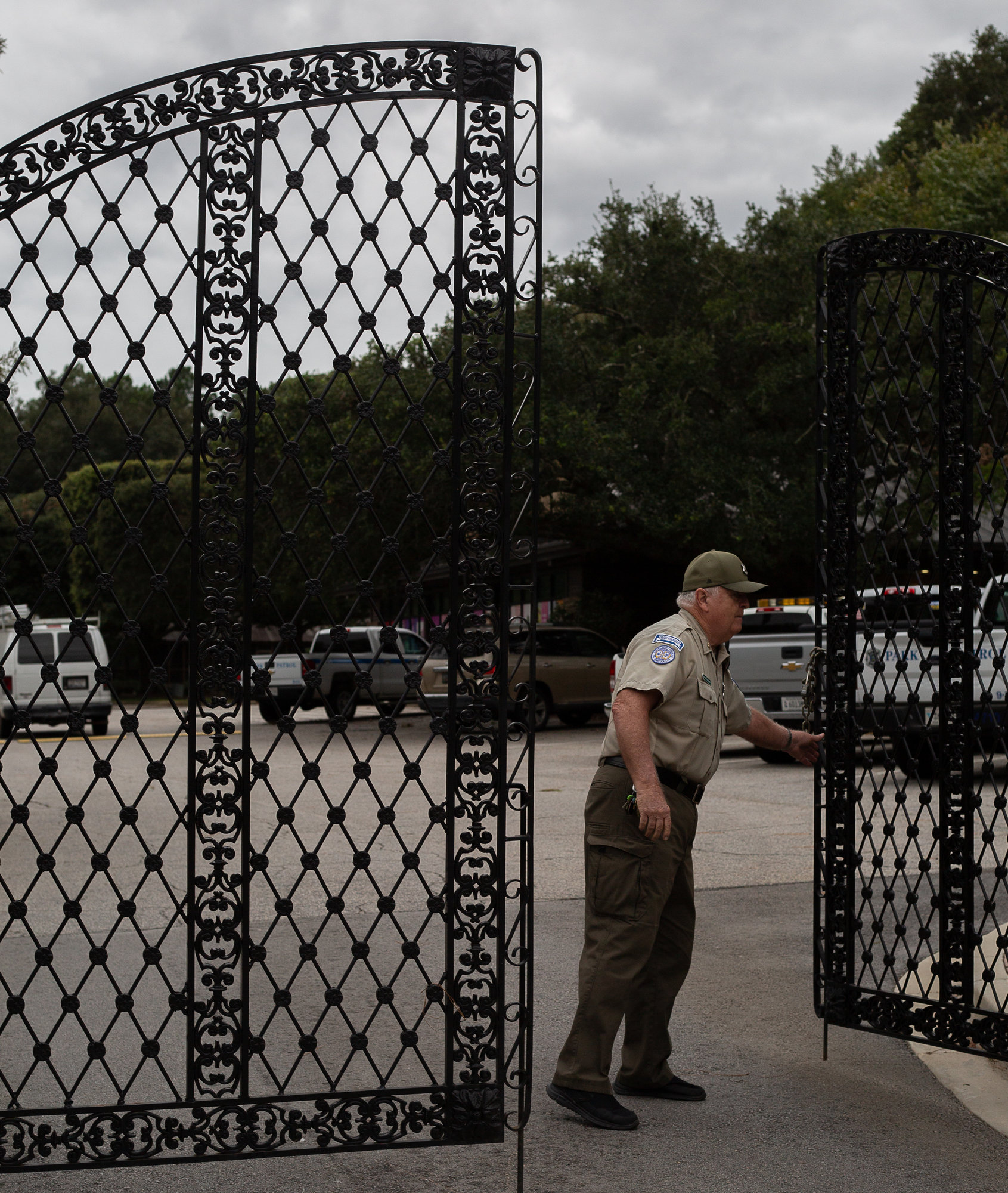
Sumter County Emergency Management Director Donna Dew said, "Everybody is ready to go," including Sumter County Public Works, Sumter Fire Department and Sumter County EMS, as Ian approaches.
Though the storm's strength was to intensify as it travels north to South Carolina, Dew said winds should remain at tropical storm level.
"It is supposed to intensify to a hurricane as it makes landfall; however, there's not supposed to be any hurricane-force winds. We're still under a tropical storm warning. We should have sustained winds anywhere from 30-35 mph with wind gusts to 60-65 mph."
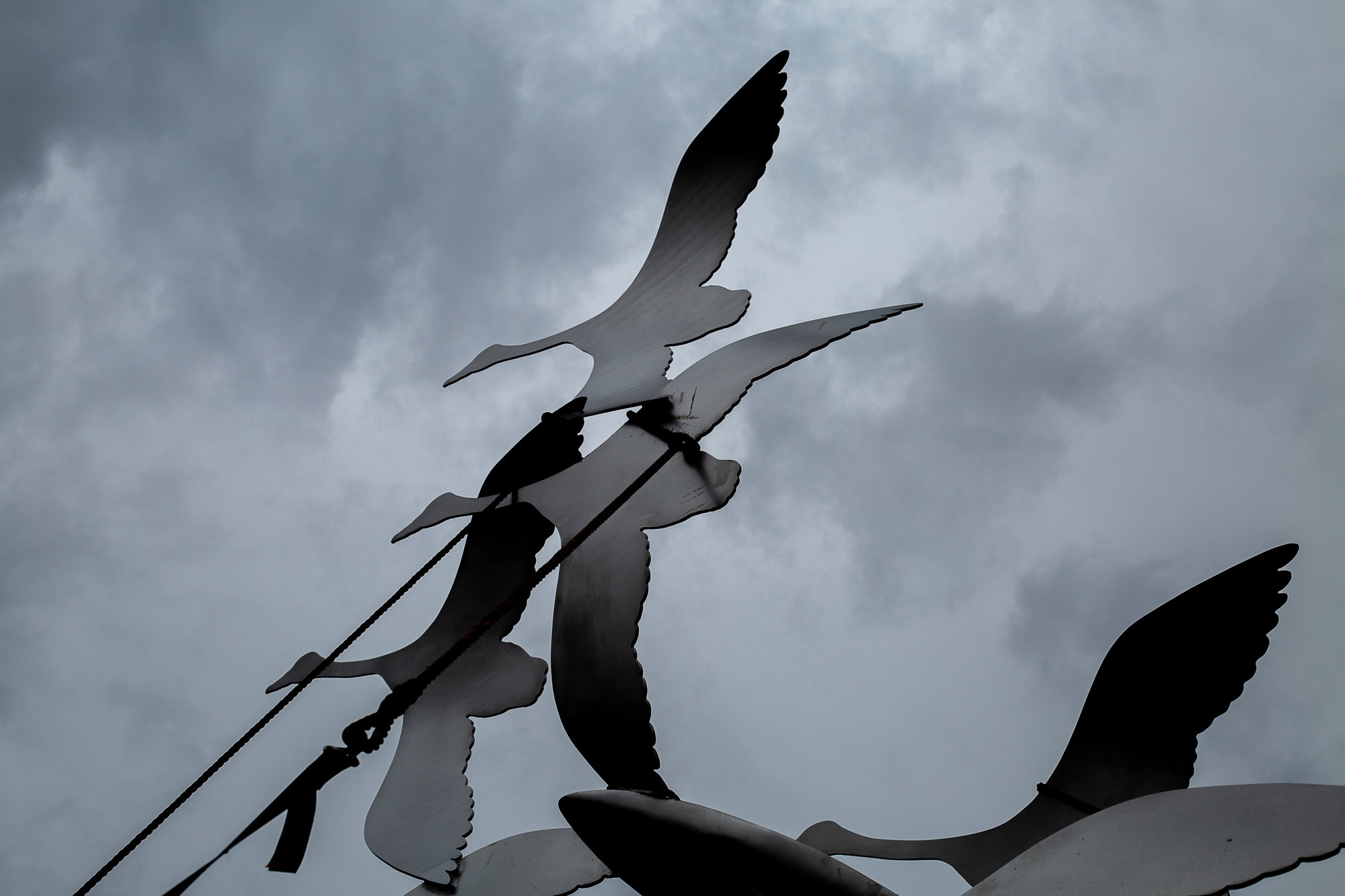
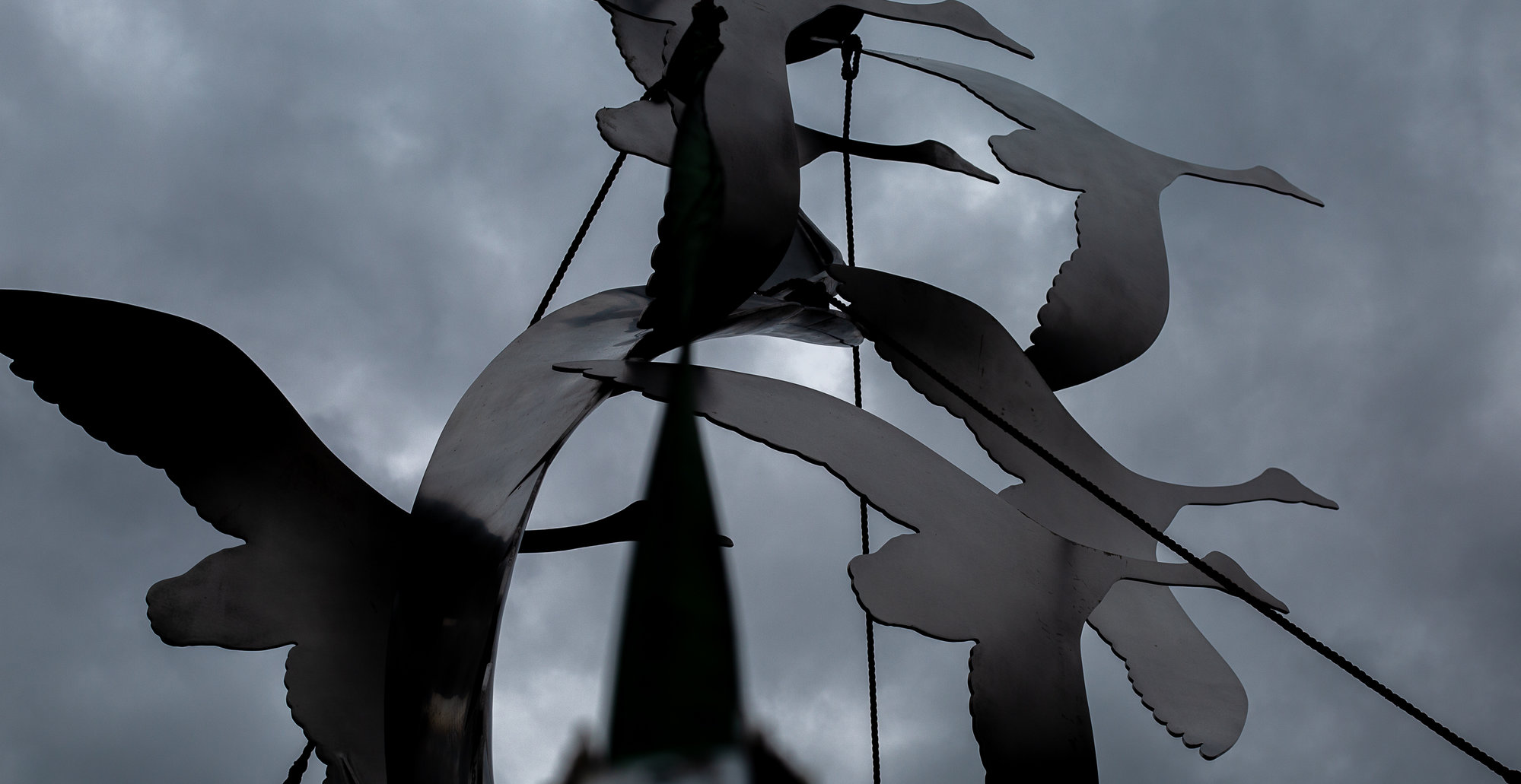
Dew said Booth's Farm, Swan Lake and Second Mill's water levels are lowered. The county is projected to get heavy rainfall in a short period of time, she added.
She does hope the rain will not "pile up" because Sumter's ground is dry. However, Dew said residents are asked to remain off roadways all day Friday.
"We're encouraging everybody to stay off the roads, stay put, stay in your homes," Dew said. "We're encouraging people to stay off the road as much as possible. There probably is going to be flooding in lowland areas, and there's a chance of some flooding in other areas."
Shelbie Goulding and Alaysha Maple contributed to this article.