
The latest on Tropical Depression Bertha's impact on Sumter, Clarendon, Lee counties
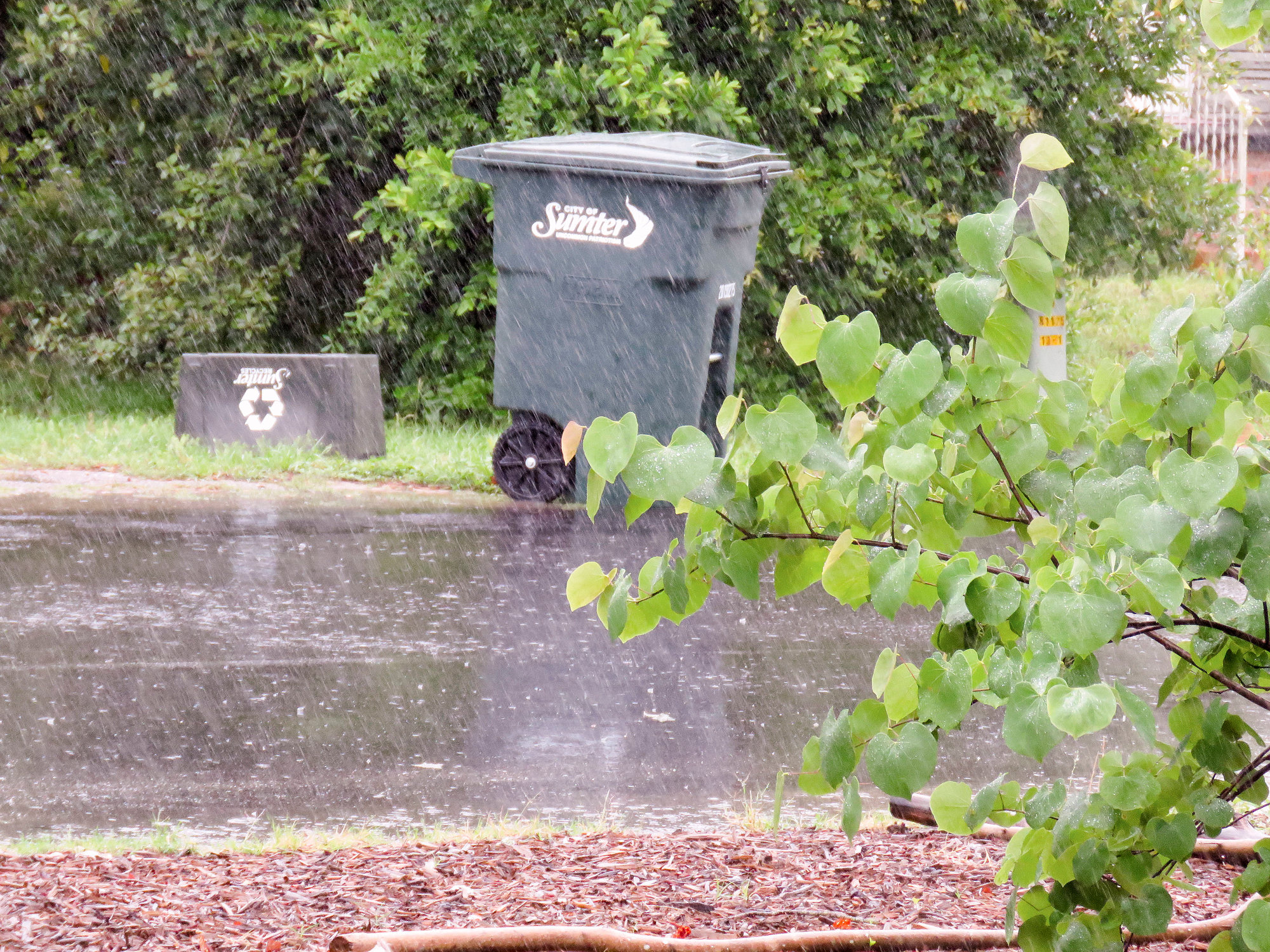
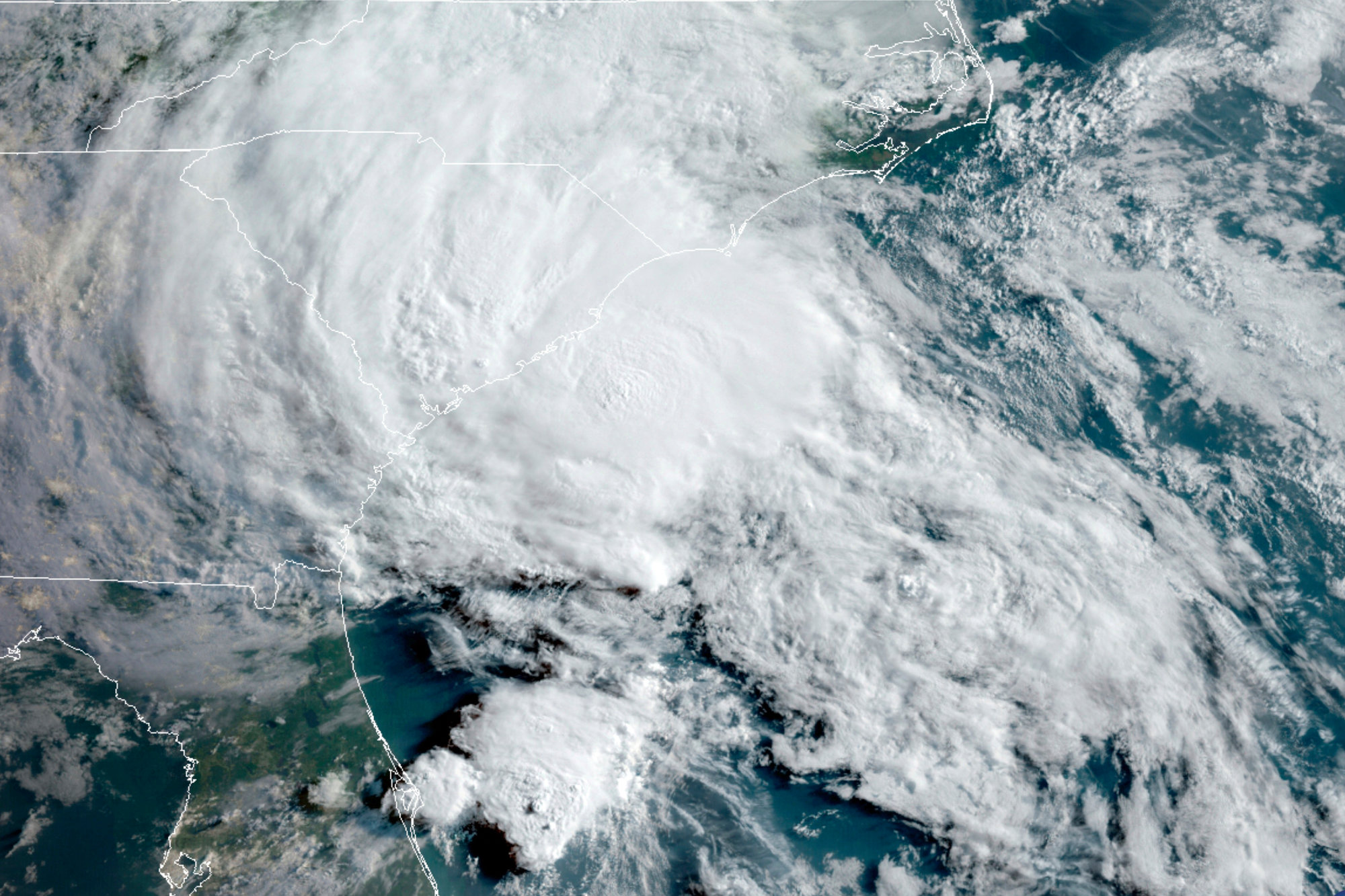
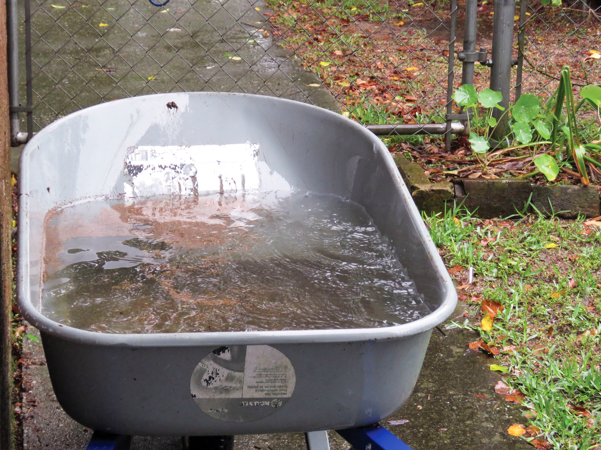


Here’s up-to-date information you need to know about Tropical Storm Bertha, which formed Wednesday morning, made landfall near Mount Pleasant Wednesday morning and is impacting Sumter, Clarendon and Lee counties with heavy rainfall. This feed will be updated regularly, so keep following The Sumter Item.
(Our coverage of inclement weather and immediate public safety matters is free to the public. It’s the right thing to do as a public service to our community. If you find this article helpful or informative and want to support our continued coverage, please subscribe or support us with a tax-deductible donation.)
---
2 p.m.
Bertha has weakened to a tropical depression but continues to dump heavy rainfall on the Carolinas.
The storm had maximum sustained winds of 35 mph as it heads north-northwest at 15 mph. Higher gusts are being recorded along the coast and to the east of the center.
---
12:30 p.m.
Bertha, a tropical storm that was named around 8 a.m. Wednesday and made landfall by 9:30 a.m., was predicted by forecasters, but they did not expect it to organize so quickly.
The state Department of Natural Resources called it a “sunrise surprise.”
Like almost all storms with heavy rain, several streets flooded in Charleston, leaving ankle to calf high brown water mixed with trash from knocked over cans Wednesday. Sea rise and an antiquated drainage system mean the city floods an average of more than once a week. Heavy rains from an unnamed storm last week caused more problems.
(AP)
---
11:30 a.m.
A vehicle accident near Swan Lake-Iris Gardens damaged Duke Energy equipment and caused about 1,200 power outages in the West Liberty Street and North Guignard area.
---
11:30 a.m.
A flood advisory has been issued in Sumter, Clarendon, Lee, Kershaw and Richland counties through 2:30 p.m. Wednesday. A flash flood watch remains in effect through Wednesday evening.
The advisory warns of minor flooding in poor drainage areas. Up to 1 inch of rain has already fallen, with additional rainfall of 1-2 inches possible.
Excessive ponding of water on roadways is expected, and washouts of dirt roads is possible.
The National Weather Service warns that most flooding deaths occur in vehicles. Never drive through a flooded roadway.
---
11 a.m.
Bertha is expected to drop between 2 and 4 inches of rain with isolated totals of 8 inches. Because of ground that is already saturated from previous rainfall, this new rainfall may produce life-threatening flash flooding, aggravate and prolong ongoing river flooding and produce rapid out of bank rises on smaller rivers.
Bertha was moving north near 15 miles per hour, and this general motion is expected to continue through Wednesday night with a gradual increase in forward speed.
The storm is expected to move inland across eastern and northern South Carolina later Wednesday and into central North Carolina by Wednesday night.
Maximum sustained winds are near 50 mph with higher gusts. Weakening is forecasted during the next 48 hours. It is expected to weaken to a tropical depression later Wednesday.
Tropical storm-force winds extend outward up to 25 miles from the center.