
Life in the Palmetto State: The Cowasee Basin; what in tarnation is that?
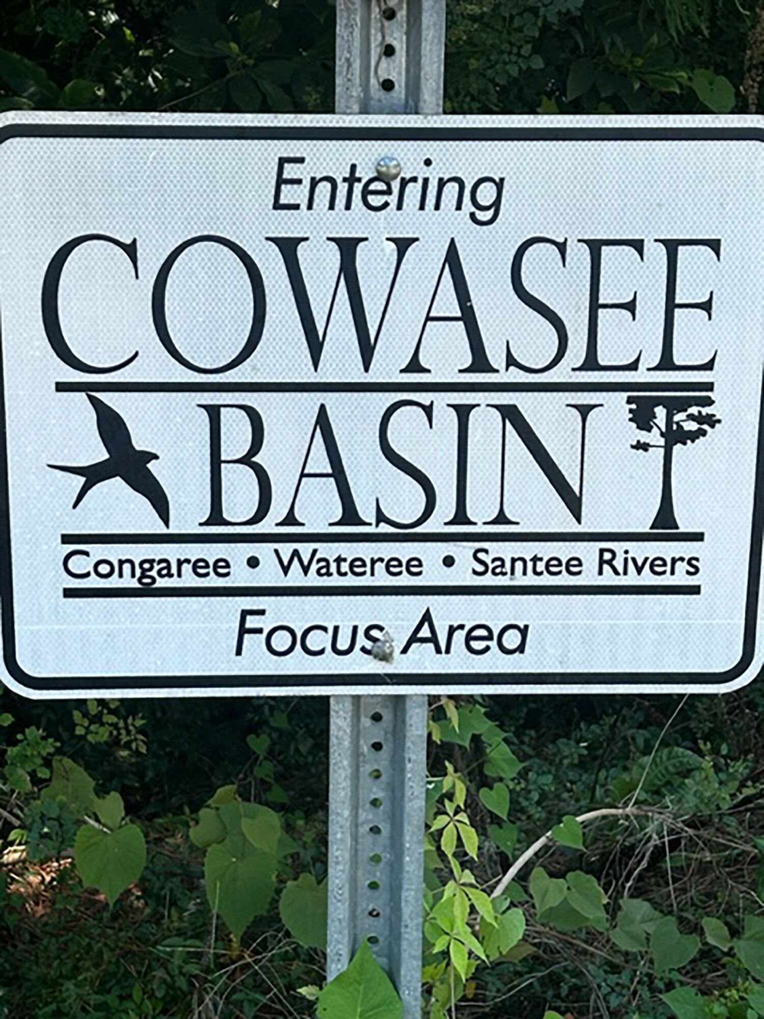


Have you ever seen the sign or heard the phrase "Cowasee Basin" and wondered what it was or could be?
Well, I have, and I did wonder what it was.
Could it be an ancient Indian tribe, a swing dance from the '50s? Could it be a first cousin to a woolly mammoth?
Facetiously, no, it's none of those, but I will tell you what it is, and you may be surprised. I grant you a gracious plenty of people that call the Midlands home don't know what it is.
It is/was a name given to a 315,000-acre tract of land that encompasses the three rivers for which it's named: the Congaree, the Wateree and the Santee.
Cowasee is just an acronym for the Congaree, Wateree and Santee rivers.
As a caveat, for those of you who don't know, the Congaree and Wateree confluence (a place where two or more rivers come together) forms the Santee, which of course flows into Lake Marion. It then either flows across the lake and through the spillway and onto the ocean or goes through the diversion canal, Lake Moultrie and the power plant, (Jeffries - Santee Cooper Hydro Plant) and onto the Cooper River and subsequently ends up in the harbor before going out to sea.
The Cowasee Basin is known as the "Green Heart" of the state. It protects vital ecosystems, including the Congaree National Park, and features extensively bottomland forests, recreational and historical sites.
The Cowasee Basin is situated southeast of Columbia, and it spans hundreds of thousands of acres, focusing on the riparian corridors (that is the interface between land and any body of water, forming a distinct ecosystem characterized by water-loving vegetation and moist soils).
The Congaree Land Trust is a 501 (c) (3) nonprofit organization dedicated to conserving the natural and scenic and working lands of central South Carolina. It works hard to protect the precious lands in our beautiful state.
As of 2019, more than half of the basin is protected through conservation easements on private land and public lands like Congaree National Park.
This area is critical habitat for deer, turkey, migratory birds and waterfowl, consisting of cypress-tupelo swamps and long-leaf pine uplands.
Some of the key sites are:
- The Congaree National Park known for its old-growth bottomland forests.
- Sparkleberry Swamp is a major water recreational area.
- Congaree Bluffs Heritage Preserve and Manchester State Forest are truly something spectacular and something you should experience.
Basically, this area is popular for hunting, fishing, birding and boating along the river corridors.
Last but not least, this initiative aims to maintain the ecological, historical and cultural integrity of this central South Carolina region, protecting it from intense development.
In closing, while I must admit I love to put my spin on my stories showcasing my word structure and selections as well as my downhome country vernacular, most of this article comes straight from Google.
This subject was so straightforward and fact based, it was hard for me to interject my Southern charm and gentle humor.
I would, however, urge each and every one of you who reads this column to look up the video titled "C-Span Cities Tour Columbia: Cowasee Basin."
I think you would be pleasantly surprised because it goes into so much more details and highlights of other historical areas near the basin.
Last thing said, it was my attempt by writing this article to expose our general public to our wonderful history and nature that colors the painting that we call home.
May God bless you!
Lee Reaves Jr. is president of Clarendon County Historical Society.